Getting the right is the single biggest factor in whether your borehole gives clean, reliable water all year — or dries up the first dry season. If you are planning a borehole for your home, estate, school, or business, this guide explains the typical depths, why Ibadan’s ground is different, and how to make sure you drill deep enough the first time.

What is the typical borehole depth in Ibadan?
Across Nigeria, boreholes generally range from about 70 to 350 metres deep depending on the region. In southern Nigeria, where rainfall is higher and the water table is shallower, boreholes often reach water within roughly 70 to 150 metres. Ibadan sits in this southern band, so many boreholes fall in that range — but the right depends heavily on local geology, which we’ll explain next.
Why Ibadan’s rocky terrain affects borehole depth
Ibadan lies on basement-complex rock. Beneath the soil there is often hard rock rather than the soft, sandy layers found in coastal areas. Reaching a dependable aquifer in this kind of terrain can require drilling deeper and through harder material than a simple estimate suggests. This is why two homes on the same street can need noticeably different depths — and why a figure quoted over the phone, without seeing your land, is unreliable.
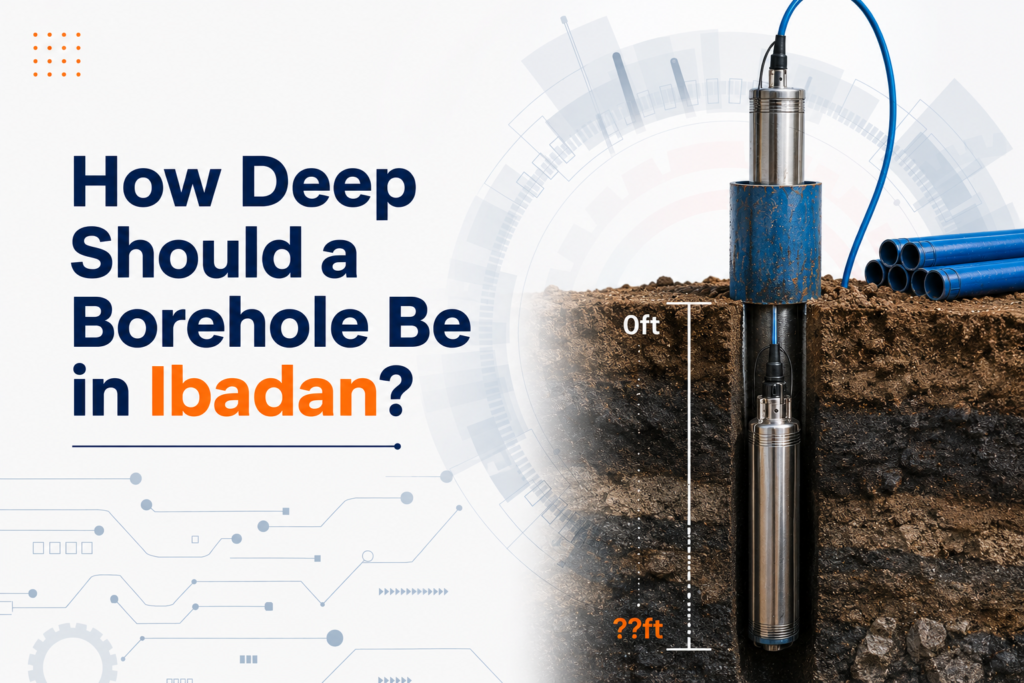
The danger of drilling too shallow
It is possible to hit water at a shallow depth and stop there to save money. This is one of the most common and costly mistakes. Southern Nigeria’s water table rises in the rainy season and drops in the dry season. A borehole drilled only to the shallow, rainy-season level may run completely dry in the dry months when you need it most. A borehole should always be drilled past the seasonal water table to a depth that delivers water reliably all year.
How the correct borehole depth in Ibadan is determined
The professional way to determine the correct is a geophysical survey before any drilling begins. The survey reads the underground layers and indicates where water is most likely to be found and how deep to drill. This protects you from two expensive outcomes: stopping too early and getting an unreliable borehole, or drilling far deeper than necessary and overpaying.
- A geophysical survey identifies the best drilling point on your property.
- It estimates the likely depth to a reliable aquifer before any drilling cost is incurred.
- It dramatically reduces the risk of a dry or failed borehole.
Get the borehole depth right the first time
At 3hrs.ng Drilling Services we always survey before we drill, so your borehole reaches the depth that gives steady water through every season — not just the rainy one. Getting the right is what separates a borehole that lasts for years from one that disappoints. If you are planning a borehole anywhere in Ibadan or Oyo State, book a free site inspection and let our engineers advise you on the right depth for your location.
Leave a Reply